
Build a Floyd County Neighbor Block List
Two Floyd County sources carry the load here. GIS mapping and Beacon supply the parcel geography. The assessment roll attaches an owner name to each lot you select. The Floyd County GIS office also documents free terminal access. It cautions that its web data never replace legal records. Match each source to the job it can actually do.
| Source | What It Shows About a Block | Access |
|---|---|---|
| Beacon/GIS parcel view | Subject polygon, surrounding parcel shapes, roads, and aerial context | Online or a free county/library terminal |
| Assessor roll | Owner of record, parcel ID, situs and mailing clues for each lot | Beacon workflow or Assessor office |
| Recorded plat or covenant | Platted lots, dedications, easements, and subdivision language | Recorder search or office |
| Surveyor material | Section corners, historic plat book, surveys and tie sheets | Web maps plus office-only records |
Expect variety in the owner column. A parcel may belong to an LLC, a trust, an estate, or a person. That person's mailing address may sit in another state. The lookup therefore describes ownership of land around the subject parcel, nothing more. It cannot tell you who lives in a home. The results should never be framed that way.
Open Floyd County's Neighbor Map Channels
Beacon serves as the county-linked mapping and assessment route. The public view may or may not offer a buffer or select-adjacent button. Do not count on one existing. If the toolset allows only identify-by-click, click parcels one at a time and log each PIN by hand. Deeper Beacon data sit behind registration, at $7.50 per day, $15 per month, or $125 per year. Free GIS terminals wait at the Downtown and Galena branches of the New Albany-Floyd County Public Library. Terminals also wait at the City-County Building. Those terminals earn their keep when an online session stalls or subscription data would help. GIS staff can explain the available tools. They neither decide title nor survey a line. The official county GIS page is the access source for all of it. It lists the office's terminal options and data notes.
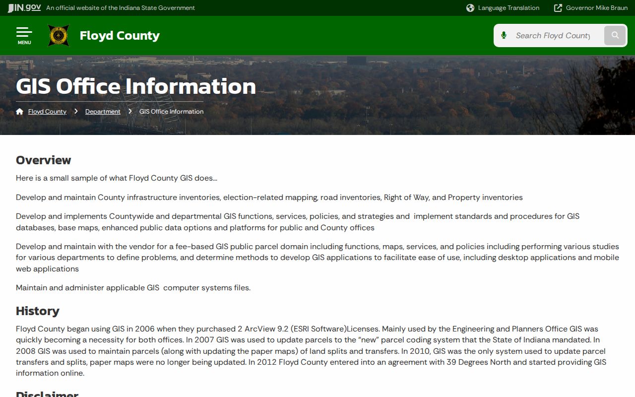
The county's own mapping office anchors the neighbor workflow, and its documented terminal options extend it past the home screen.
Check Floyd County's Recent Parcel Changes
A block is not fixed forever. Floyd County logged 138 parcel splits in 2024. It also recorded roughly 42 combines and 13 plats. Some plats created as many as 57 parcels. A newly drawn lot can surface in a plat or office system before consumer-facing layers catch up. So record both parent and successor parcel numbers wherever both appear.
The county's stormwater record shows why a change audit spans offices. GIS, Auditor, and Assessor data all went to a consultant. Impervious-surface updates were checked against parcel changes. New aerial photography arrived on a two-year rhythm. For a newly built block, compare the recorded plat, new PINs, assessment transfer entries, and permit docket before trusting any single layer. A map refresh and an ownership-roll refresh can land on different dates. Document a temporary mismatch instead of papering over it with an assumed neighbor name.
The county's own timeline explains lingering identifier gaps. GIS work began in 2006. The state-required parcel code arrived in 2007, and splits and transfers were maintained in GIS from 2008. Paper maps stopped updating in 2010. Online service launched in 2012. Older paper identifiers and current PINs therefore do not always match.
Note: A recent split can change which parcel polygons touch even when the street scene looks unchanged.
Map the Parcels Around a Floyd County Address
Start from a known situs address. Keep the subject polygon in view at every step. Treat the map as a visual index into the parcel records, not as the record itself. One misclick on a house symbol or roadway instead of the land polygon is the classic error. Confirm the returned PIN and address before writing down any neighbor.
- Locate the address in Beacon and select the subject parcel polygon.
- Move clockwise and record the PIN for every parcel sharing a boundary.
- Open each assessment record and capture the owner name and search date.
- Compare the recorded plat when lot lines, easements, or a recent split affect the question.
- Parcel or PIN
- The county record key for a mapped tract.
- Adjacent parcel
- A lot that shares a boundary with the subject parcel.
- Abutting
- Directly touching, rather than merely nearby across a road.
- Plat
- A recorded drawing defining lots, dedications, and related interests.
- Buffer
- A chosen distance around a feature, if the viewer supports that tool.
List a Floyd County Street Without a Buffer
When no adjacency tool is visible, fall back on a text search. Indiana's DLGF assessed-value search accepts partial terms and routes users into county property detail. Search the street without over-narrowing. Sort the candidate addresses by parcel ID, then return to the map. This builds a block list. Parcels on rear lot lines may carry a different street address. The Assessor's office can also identify parcels by address or PIN at 812-948-5420. An APRA request must name the specific map, parcel, street segment, or existing report. It must do so with reasonable particularity. The office is not required to build a custom neighbor roster. Record every plausible result before narrowing anything. Compare house number, road suffix, township, ZIP clue, and PIN side by side. A corner lot may front one road while its situs uses another. A rear tract may share no mailing pattern with the homes it touches. Once the candidates sit on the map, drop parcels that merely sit across the road. Do that if the question is strictly about abutting land. Keep them only when the broader block is the goal.
Let Floyd County Plats Explain Neighbor Lines
Start with paper, not pixels. The Recorder's plat and covenant search pulls subdivision names, lot lines, easements, and restrictions. Those details sit behind the GIS shapes. Floyd County's Surveyor adds web maps for tie sheets plus a historic plat book. Full surveys usually require an office visit. A plat often explains a curious gap. A narrow access tract or drainage strip can separate two houses that look like direct neighbors.
Account for Floyd County's Fringe Geography
Floyd County's edges can confuse a records search. New Albany keeps a two-mile fringe. Georgetown and Greenville each handle review in their own way. ZIP codes cross municipal lines freely. Postal labels like 47119, 47122, 47124, 47150, and 47151 describe mail delivery, not city limits. One street may look like a single jurisdiction. Its planning records sit in two places. The parcel PIN cuts through the confusion as a stable cross-reference.
The Ma Cherie Reserve annexation shows how boundaries shift. It took effect in 2026 after a 58-home project record. Ownership stays a county-record question. Permits and zoning move between city and county review paths.
Greenville adds another edge condition. Its planning route pairs the Floyd County Plan Commission with the Town Council. Rural lots may rest on access easements rather than a street grid. Georgetown runs intake through its own Town Hall with county inspection. Near either town, municipal labels help you locate planning files. They never replace county parcel ownership. Confirm which jurisdiction reviewed the project. Then go back to the recorded plat and the assessment roll for the parcels that actually surround it.
Respect Floyd County Neighbor-Record Limits
Indiana's Address Confidentiality Program gives eligible participants a substitute public address, so a Floyd County neighbor map must honor that shield along with any other withheld field. Owner rolls serve real purposes: boundary research, purchase diligence, plat review, and civic understanding. They are not a license to identify or monitor the people living next door.
Lawful use. Use Floyd County neighbor records for legitimate property and civic purposes. Watching, targeting, harassing, threatening, or harming anyone is prohibited.
A GIS line is not a survey. An assessor's owner name is not proof of title. A boundary or ownership question can carry legal stakes. In that case, get the recorded instruments and qualified professional help.
The Floyd County Surveyor can supply section-corner and recorded-survey context. That helps when two mapped polygons seem to overlap or leave a gap. Office-copy charges vary by paper size. Digital copies can go out by email. Ask for the identified survey or plat rather than a fresh boundary conclusion. If no survey covers the issue, a licensed surveyor can measure the deed calls on the ground. They can also interpret those calls in the field. That distinction keeps a neighbor lookup useful without overstating what public GIS can settle.