
Start a Floyd County Property Search
Start with what you already know. An address search works well in Beacon, though a missing street direction or suffix can hide the match. Owner-name lookups surface multiple holdings but may mix namesakes, trusts, companies, and prior owners. The modern parcel number is the exact county key. Older deeds may list only a lot, subdivision, or metes-and-bounds description.
Treat the sources as a chain. The assessment roll gives a parcel its current identity. Deed indexes at the recorder document transfers and encumbrances. Treasurer records show what was billed and paid, while GIS supplies the map context. Note every search date so results can be compared later.
- Find the address in the assessor-linked Beacon search and copy the parcel ID, owner name, and assessed values.
- Search the Recorder's Fidlar index for the newest deed to that owner.
- Compare the deed's legal description with the parcel card and any recorded plat.
- Check the Treasurer or LowTax route for bills, delinquency, and payment status.
- Use GIS for orientation, then request certified copies or older books from the custodian.
Floyd County Records Custodians
Floyd County splits its property records by legal function. The recorder preserves instruments that affect title. The assessor handles land assessment, transfers, splits, and sales disclosures. It also tracks new construction, the plat room, and county mapping. The treasurer collects taxes and posts payment and tax-sale details. Call ahead before visiting. The Auditor and Treasurer now sit on West Spring Street, even though older county text still lists Hauss Square.
Floyd County Recorder
311 Hauss Square, Room 115
New Albany, IN 47150
812-948-5430
Floyd County Assessor
311 Hauss Square, Room B3
New Albany, IN 47150
812-948-5420
Floyd County Treasurer
120 West Spring Street, Suite 201
New Albany, IN 47150
812-948-5477
Beacon Joins Parcels and Values
The Floyd County GIS office connects Beacon for parcel mapping and assessment data. Official Beacon help covers search modes. Search by owner name, address, the 18-digit state parcel number, and Auditor tax ID. Basic information stays free. Richer layers require registration. Fees run $7.50 per day, $15 per month, or $125 per year. Free library terminals wait at Downtown and Galena branches. Terminals also sit in the Assessor and Recorder offices of the City-County Building. That fallback matters when the live site rejects a browser. See the county's Assessor access page for property data.
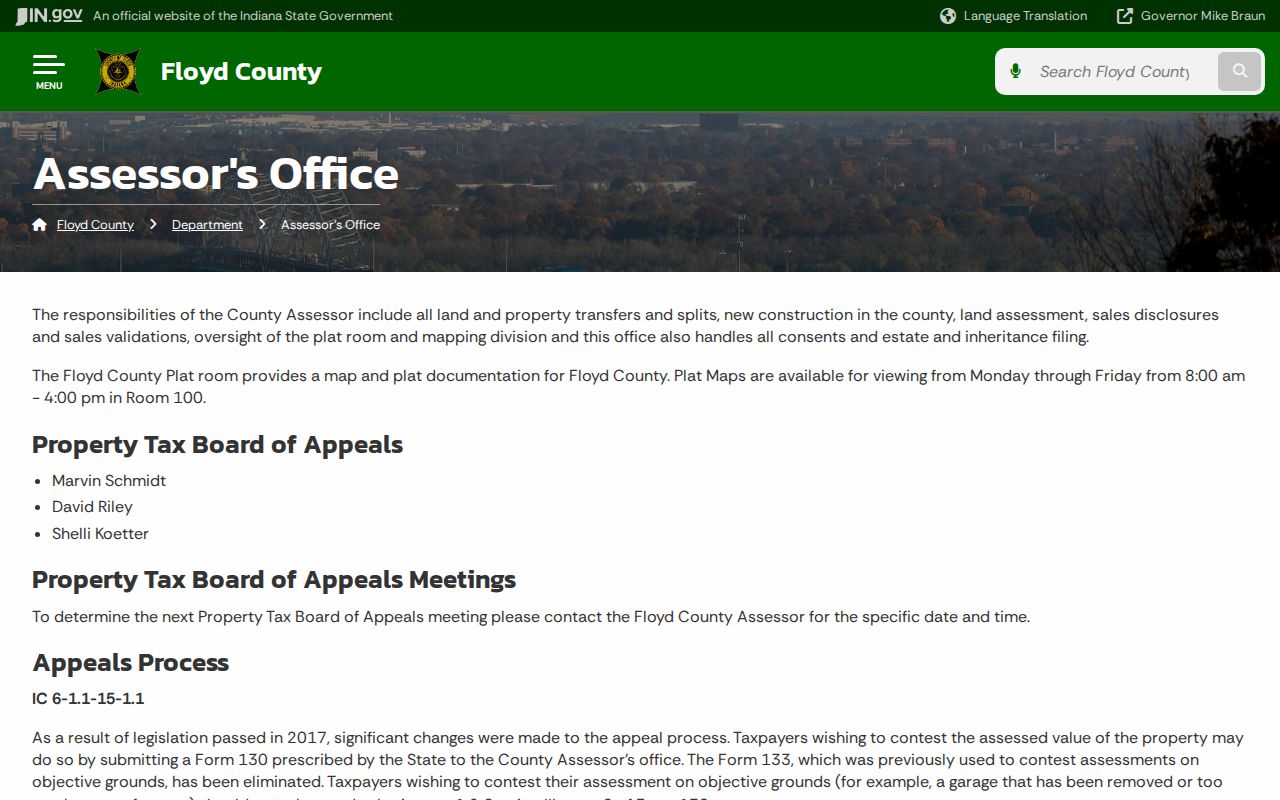
The Beacon viewer does not render in every browser, especially privacy-restricted ones. The county page still names the responsible office.
Floyd County Property Record Types
No single database holds every Floyd County property fact. Recorded instruments build the public conveyance trail. Assessment and tax systems describe the parcel for county purposes, while maps, plats, permits, and court files answer separate questions.
| Record Type | What It Documents | Kept By | Access |
|---|---|---|---|
| Deeds and contracts | Transfers, parties, dates, legal descriptions | Recorder | Fidlar, counter, copies |
| Mortgages and liens | Recorded claims and releases | Recorder | Same instrument index |
| Assessment and tax | Owner roll, values, deductions, bills | Assessor, Auditor, Treasurer | Beacon, LowTax, offices |
| Parcels, plats, surveys | Mapped location, lots, survey evidence | GIS, Recorder, Surveyor | Viewer, terminals, office books |
| Permits and zoning | Approved work and land-use review | County or municipality | Office and online records |
Use Floyd County deed records for the transfer chain. Turn to property tax records for valuation and billing. Parcel maps add spatial context, but a permit is not a deed and a tax bill never proves title.
Floyd Deeds Reach Back to 1783
Floyd County deeds reach back to 1783. The Recorder offers indexed images from 1783 to current. The oldest group, the Clark/Illinois Grant Book, runs 1783 through 1850 and holds early plans of New Albany and Greenville. That material was digitized for historical study but is not certifiable in Floyd County, because the originals belong to Clark or Harrison County.
Lettered deed books span 1818 through 1853. Numbered books run 1853 through 1974. Drawer conversions cover 1974 through 1999. The index is not complete, so the original books stay authoritative when an entry runs thin.
Historical formats change the search method. The Recorder's guide documents keyword searches for cemetery, out lot, land patent, emancipation, free papers, farm, steamboat, and ferry. Lettered references carry a DB prefix. Clark Grant records use CG and miscellaneous books use MI.
Take the recording reference to the Recorder counter. The Indiana State Library's Floyd County guide and microfilm finding aid add deed indexes, WPA material, maps, newspapers, and directories. The New Albany-Floyd County Public Library History Room offers another local route. Probate and executor records may explain a transfer that never appears as a simple sale.
Read Floyd County Parcel Cards
A Floyd County parcel card packs a lot into one record. It can tie together the state parcel number, tax ID, situs address, owner of record, and mailing address. Situs means where the land sits. Acreage and assessed values often ride along too. Land and improvement details, transfer history, and a map link may join them. The mailing address can differ. That is where the assessor or treasurer sends tax bills and assessment notices, and it may sit in another county entirely. Because Beacon labels may shift between versions, treat the displayed roll as a live government working record and check any recent ownership change against the newest deed in the Recorder's index.
One planning docket shows the cross-reference method well. It identifies parcel 22-04-03-000-336.000-006 at 4865 Old Vincennes Road. The docket lists 0.45 acre, a vacant use with a small building, and GC-General Commercial zoning. From there the parcel number links everything. Compare it with the owner roll, the deed instrument, the map polygon, and permit history, and each file contributes a different fact. The parcel number joins the records.
Assessment fields also need to be read by year. Land value, improvement value, total assessed value, deductions, and tax amounts may reflect related but different cycles. A sale recorded this week may lag the roll. A structure in a permit file may enter assessment data only after completion or inspection. Keep both the search date and the record's own effective year.
Recent splits demand extra care. Floyd stormwater material reported 138 parcel splits in 2024, about 42 combines late that year, and 13 plats, some producing as many as 57 new parcels. A development search should preserve several IDs. These include the parent parcel, subdivision and lot, recorded plat, and child parcel numbers. Search only the newest number and the earlier deed and planning trail can vanish from view.
The owner field is only a lead. It is not a title conclusion. Copy trust and company names exactly into the Recorder index, and when mailing and situs addresses differ, do not infer who occupies the property; confirm the transfer behind the roll with the newest deed and its legal description.
- Parcel number
- The county's identifier for a mapped tax parcel.
- Assessed value
- The value used in Indiana's property-tax system.
- Plat
- A recorded drawing that divides land into lots or tracts.
- Owner of record
- The name carried on the current assessment or transfer roll.
Floyd GIS Changed the Map
Floyd County began GIS work in 2006. Indiana's new parcel coding system arrived in 2007. Splits and transfers were maintained in GIS starting in 2008. Paper-map updates stopped in 2010. An online service followed in 2012. That timeline explains why identifiers can differ. Older files and newer parcel records can use different identifiers for the same land. The GIS office warns that online map data do not replace a legal document. A deed, survey, or other legal paper still governs. Use the map to find adjoining parcel IDs, zoning, aerial context, and assessment links. Bring in a recorded survey and a qualified surveyor for any disputed line. Full details sit on the Floyd GIS access and history page.
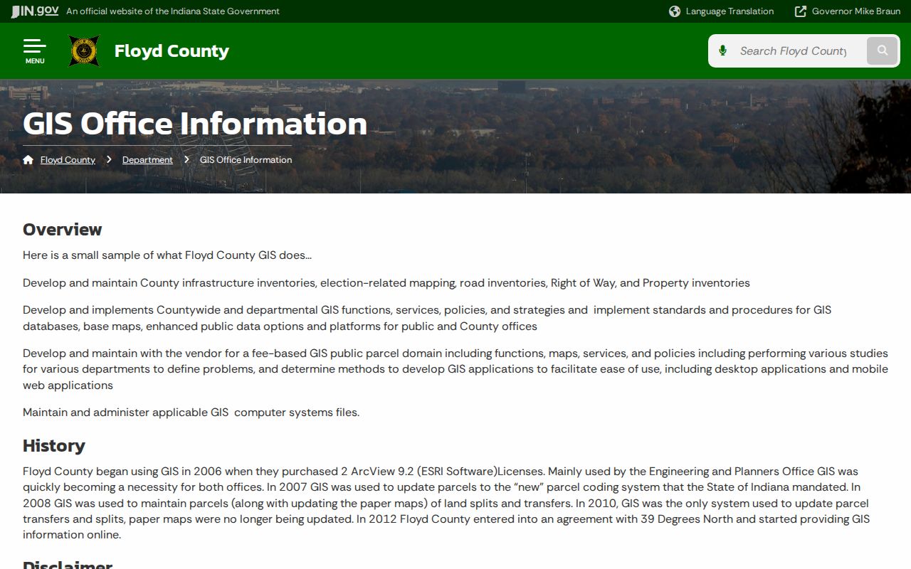
The office page also documents paid Beacon access and free public terminals.
Floyd Assessment and Appeal Calendar
The Floyd County Assessor wears several hats. Annual land assessment, sales validation, splits, transfers, and new construction all run through the office. Indiana assesses property at 100 percent of market value-in-use and applies annual adjustments. Deadlines matter here. Floyd County says Form 11 notices are mailed by April 30, and Form 130 appeals are due June 15.
An objective error, such as wrong square footage or a garage removed but still shown, goes to Form 130. Section III on page two is key. Form 133 was eliminated for these grounds. Preserve the notice, parcel card, photos, permits, and comparable evidence supporting the claimed correction.
The assessment record and tax bill differ. A sale price comes from one transaction, while market value-in-use is Indiana's assessment standard and the assessed amount feeds the tax calculation for a stated cycle. Deductions and local rates then shape the bill. Compare like years before claiming two figures conflict.
A statewide cyclical reassessment begins July 1, 2026 for taxes payable in 2027. Indiana describes a four-year process. Roughly one-quarter of parcels are inspected each year. That inspection cycle runs beside annual trending, so a physical review and a year-to-year statistical adjustment are not the same event.
Note: Verify the deadline on the current notice, because a missed appeal date can limit the available remedy.
Floyd Tax Bills and Sales
The Treasurer answers billing questions. Those records show what was billed, paid, or delinquent. You can pay through the county's web route, by phone, at participating bank branches, by mail, at the office, or through a 24-hour drop box. Deduction and tax-rate questions belong to the Auditor. That office also handles transfer-book work and tax-sale administration, so a value question and a payment question may land at different counters.
The county lists a 2026 online tax sale. It runs October 15 through SRI Services. Tax-sale-eligible balances must be paid straight to the Treasurer. Cash, exact change, or certified funds are required, not the ordinary online or credit-card route. A tax-sale listing does not prove title changed. Compare the list with the tax account. Court filings, when relevant, and any later deed recorded after the sale process complete the picture.
Floyd Court Property Cases
Property disputes in Floyd County often land in court before they touch the recorder's office. Foreclosures, quiet-title suits, partitions, lien enforcement, and probate or estate matters all surface in Indiana MyCase. That is the state's case portal. You can pull up a case by number or party. Pleadings and older files never made it online. For those, the Floyd County Clerk is the office to call. The Clerk also holds any lis pendens. That is the notice that flags pending litigation touching real estate.
MyCase is flexible about how you search. A case number, citation, cross-reference number, or party name all work. You can narrow results by court, status, or filing date. Wildcards and a sounds-like option rescue searches built on shaky spellings. Results are capped, though, and the documents attached to a case vary with its type. Certified copies and deep historical files still require a request to the Clerk.
Sheriff-sale notices list sale dates and bidding terms. The Sheriff still tells buyers plainly to get a title search first. Court dockets and sale lists are leads, not verdicts. They never substitute for the actual orders and the recorded instruments behind them. Read any judgment alongside the sheriff's deed, release, or later conveyance recorded against the parcel. Those documents tell the rest of the story.
Floyd Property Fraud Alerts
The Floyd County Recorder offers free Property Fraud Alert enrollment. It watches newly recorded documents for a name you register. The name can be personal, business, or a trust. A match triggers a notice to you. The service does not block a filing, vet signatures, or judge a document's validity. Matching runs on names alone. So an alert may simply concern someone with a similar name.
Register every name variant that matters, including trusts and businesses. If an unfamiliar filing shows up, write down the recording reference. Get the actual document from the Recorder. Compare its legal description with your parcel. Then seek legal help promptly. Treat the alert as one early-warning layer next to periodic deed-record checks. It is not a replacement for reviewing releases, corrective deeds, probate transfers, or anything else already sitting in the index.
A smart review starts with four details: recording date, grantor, grantee, and legal description. Match those names against the assessment roll. Then match them against the prior deed. Hunt for a related release or correction. An alert on a common surname may point to someone else's parcel entirely. An unfamiliar deed carrying your exact legal description deserves immediate attention.
The Recorder preserves the instrument and can hand you a copy. Staff will not run title searches, draft deeds, or hand out legal advice. A suspected false filing may call for an attorney and a law-enforcement report. Keep the alert message. Keep the complete recorded document. Do not trust a short notification summary alone.
Limits of Floyd County Property Records
Floyd County property records answer many questions, but not all of them. Official files can confirm the assessment-roll owner and the recorded grantee. They can also confirm a parcel number, assessed value, tax status, the mapped lot, and filed liens. They cannot guarantee market value. They cannot settle a boundary dispute. They cannot prove that every interest was recorded, or stand in for a title opinion. Address confidentiality rules may also shield a program participant's home address.
Compiled commercial data adds its own risks. It can run stale or blend people who share similar names. Start with official custodians and keep your document references close. Indiana's Access to Public Records Act asks that requests identify records with reasonable particularity. No office is obliged to chase open-ended research questions or build a report from scratch.
Lawful use. Floyd County property records support purchase diligence, boundary research, tax appeals, family history, and civic oversight. Never use an owner's information to stalk, threaten, or harass anyone.