
Build a Floyd County Property Search
The practical sequence runs from address to Beacon parcel, then owner, mailing address, value, Recorder deed, and tax or map confirmation. Start with the Floyd County Assessor link. It leads to Beacon. A parcel result there supplies the stable keys needed for values, deeds, and tax records.
- Enter the street number and name in Beacon. Remove a direction, unit, or suffix if the first query fails.
- Open the matching parcel and copy its state parcel number, Auditor tax ID, owner, situs, and mailing address.
- Carry the exact owner name and legal description to the Recorder's Fidlar index.
- Match the parcel in GIS and the Treasurer's tax route, noting any split or differing year.
- Request the underlying deed, plat, or certified copy from the custodian when proof is needed.
The mailing address is not the land. Owners far away, trusts, and companies get their mail elsewhere, and a new deed can predate the next roll refresh. Keep the displayed assessment year.
Floyd Beacon Search Controls
Official Beacon help lists four property search modes. Their exact labels vary. Read the live Floyd interface for the current wording rather than relying on memory.
| Search key | Input | Best use | Common snag |
|---|---|---|---|
| Owner or name | Text | Find several parcels tied to one name | Trusts, LLCs, and namesakes |
| Address | Street text | Find one known site | Directions and suffixes |
| State parcel number | 18-digit identifier | Exact modern parcel match | Older deeds lack it |
| Auditor tax ID | Local tax key | Join assessment and tax data | Format may differ by system |
Basic information stays free. Registered in-depth access runs $7.50 per day, $15 per month, or $125 per year, and free public terminals sit at the Downtown and Galena library branches plus City-County Building offices. Check the official assessor access page before starting. It lists current terms.
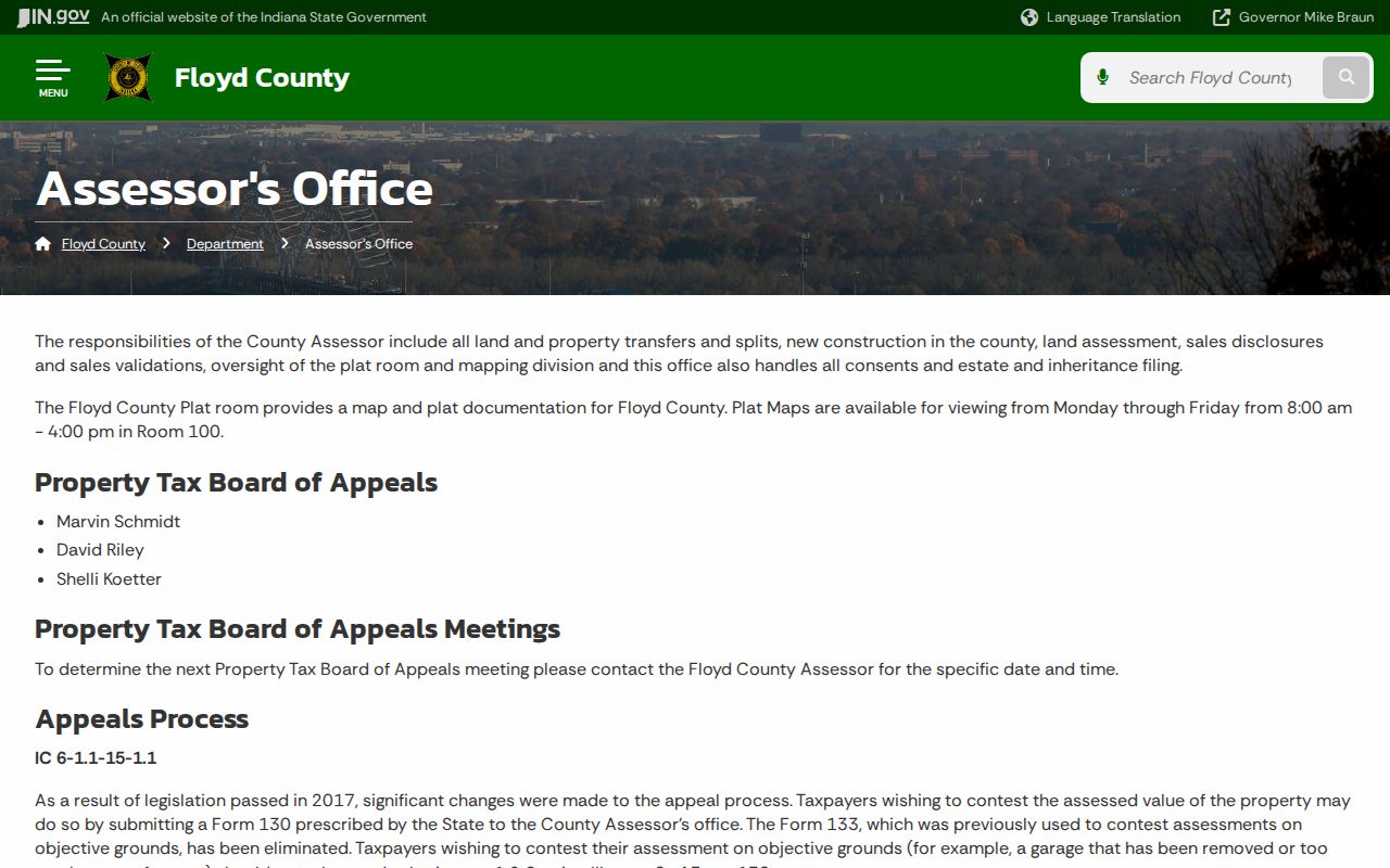
The office page is also the fallback for appeal forms and direct help. Return there whenever the property search will not load.
Fields in Floyd County Property Results
A parcel card is an assessment record, not a deed. Still, it gathers enough identifiers to link one piece of land across county systems. Floyd planning dockets show the pattern in practice. There a parcel number, situs, acreage, zoning, owner, and deed instrument all point at the same tract. A development record does too.
| Owner of record | Name carried on the assessment or transfer roll |
|---|---|
| Situs and mailing address | Land location versus correspondence destination |
| Parcel number and tax ID | Keys used to join map, value, and tax records |
| Land and improvement value | Assessment components for the stated year |
| Legal description | Subdivision, lot, grant, section, or boundary text |
| Sale and deed reference | Transfer clue to verify in Recorder records |
Owner, sale, value, sketch, and history labels come from the live record itself. Note its assessment year and parcel identifier. Treat GIS lines as reference data, not surveyed boundaries.
Cross-Reference Floyd County Deeds
The Recorder's online records search offers Tapestry for occasional users and Laredo for subscribers. Tapestry costs $8.95 per search plus $1 per printed page, and Laredo runs on monthly minute plans. Use the parcel-card owner as a party-name lead. Then match the legal description and the newest recording. Party searches ignore capitalization and punctuation. Search both grantor and grantee roles, and for older deeds swap the parcel number for a lot, subdivision, Clark Grant, section-township-range, or metes-and-bounds description. The Fidlar Tapestry entry screen begins the deed cross-check.
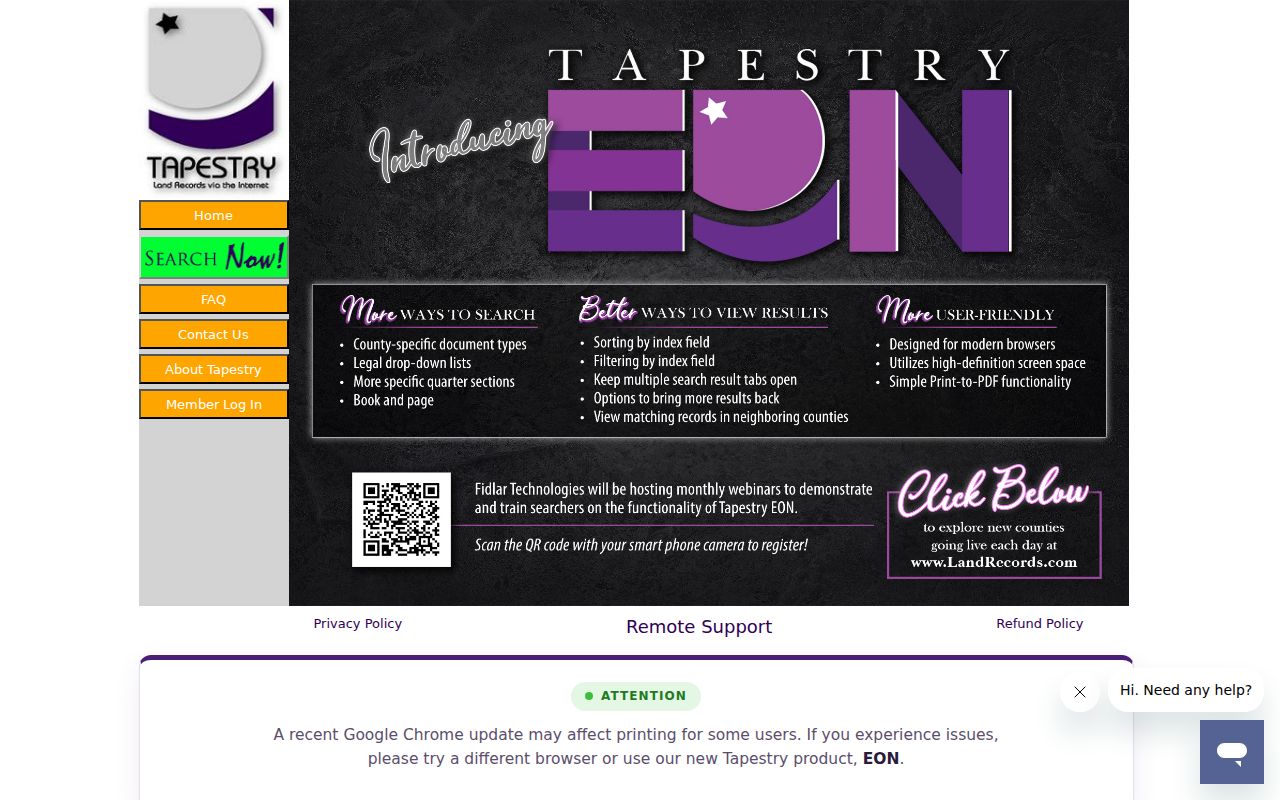
Matching the county and description prevents wrong-parcel deed matches.
Floyd Parcel Numbers Changed
Floyd County started GIS work in 2006. Indiana's state-mandated parcel coding arrived in 2007. GIS staff took over transfers and splits in 2008, stopped updating paper maps in 2010, and launched online service in 2012. Older sources may therefore cite a tax ID, book and page, lot, or grant rather than today's state parcel number. The state format is an 18-digit code, usually shown with separators. It identifies county and parcel components. It says nothing about ownership rights. New splits may also appear first under a parent parcel or recorded plat.
A published Floyd planning docket shows the join in practice. It identifies parcel 22-04-03-000-336.000-006 at a situs of 4865 Old Vincennes Road, with 0.45 acre, vacant use, a small building, and GC-General Commercial zoning. The docket then points toward owner and deed evidence. No single field answers everything, but the shared parcel key keeps the address, planning case, deed, and assessment entry in one place.
Recent activity makes parent-child tracking pay off. County stormwater material counted 138 splits during 2024. It also logged roughly 42 combines late that year and 13 plats, some yielding as many as 57 new parcels. For any new development, save the parent ID. Note the subdivision, lot, and child IDs.
- Parcel or APN
- An administrative identifier for one mapped tax parcel.
- Situs
- The physical property address.
- Tax ID
- A local Auditor identifier used in assessment and billing systems.
- Legal description
- The words tying a deed to a tract, lot, or grant.
Floyd GIS Search Fallbacks
The GIS office supplies the map route, public terminal locations, access prices, and the map disclaimer. Use View Map from a parcel result. The viewer also searches by address and parcel ID. Click neighbors only for block context.
When the viewer fails, bring the address and parcel ID to a free terminal. The Surveyor maintains section corners, tie sheets, a historic plat book, survey records, and large-format copy services. Recorded plats and neighborhood covenants remain with the Recorder.
Permits Confirm Floyd Improvements
A permit file explains what a parcel card cannot. Floyd County Building and Development Services keeps permit and inspection records for unincorporated areas, while each town runs its own planning route. New Albany manages city zoning, annexation, address assignment, subdivisions, and historic review. Georgetown works differently. It takes permit applications at Town Hall, sends them to Floyd County for building review and inspection, then handles payment, pickup, and the certificate of occupancy. Greenville sends planning and building questions through the Floyd County Plan Commission together with its Town Council. A mailing city picks the wrong office fast.
Search permits under the same normalized address used for the parcel. Then compare parcel number, applicant, and owner. Where no public result index exists, staff need the address, parcel ID, approximate date, project type, and any known applicant. APRA applies here. It supports requests for identified existing records rather than an undefined summary.
A permit proves approved or inspected work. The assessment roll may lag behind it. The applicant and the owner of record can differ. A subdivision approval also falls short of a final recordable plat. Confirm the plat reached the Recorder and that parcel IDs were created before treating proposed lots as current property records.
Floyd County Search Access Channels
The web is only one door. Beacon offers a web view and a registered view. Free terminals sit at the Downtown and Galena library branches and the City-County Building. Recorder records travel several roads. They reach the public through Tapestry, Laredo, an office visit, telephone assistance, or a focused copy request. History has its own shelves. The Indiana State Library and the New Albany-Floyd County Public Library History Room hold historic deed indexes, city directories, newspaper indexes, county maps, and local histories.
A failed street search is not the end. Take the parcel number and legal description to the office terminal. Older deeds need older tools. Move on to original deed books, State Library microfilm, plat records, and historic directories. That fallback chain keeps a modern map identifier separate from the lot, grant, or book reference used when the document was written.
The Recorder counter sits at 311 Hauss Square, Room 115, open weekdays from 8 a.m. to 4 p.m. Telephone help is available at 812-948-5430. A strong copy inquiry gives both party names, the approximate recording date, the document type, the book and page or instrument number, and the legal description. Say whether a plain or certified copy is needed.
GIS staff work from Pine View Government Center at 2524 Corydon Pike, Suite 201, reachable at 812-949-5446 during weekday office hours. Section corners, tie sheets, historic plat-book material, and recorded-survey references belong with the Surveyor. GIS can orient a search. It cannot issue a private boundary opinion. The Treasurer adds more channels. Tax payments run online, by phone, through participating bank branches, by mail, at the office, and through a 24-hour drop box. Those routes answer billing, not deeds. Deduction and rate questions go to the Auditor, while assessment facts and Form 130 appeals go to the Assessor.
Indiana's Access to Public Records Act backs requests for existing records described with reasonable particularity. It demands no open-ended research. No office must build a new compilation. Include parcel IDs, names, dates, record types, and known instrument references, and ask about inspection or copying charges before requesting a large group of records.
Compare Floyd Property Search Keys
Start with the narrowest reliable key. Then switch keys when systems disagree. An address is intuitive, a parcel number is exact for modern county systems, and a name can expose multiple holdings or the deed trail behind a Floyd County property.
| Search Key | Best For | Where It Works | Watch Out |
|---|---|---|---|
| Address | One known site | Assessor and GIS | Direction, suffix, unit, or renumbering |
| Owner name | Holdings or transfer parties | Assessor and Recorder | Trusts, LLCs, spelling, namesakes |
| Parcel number | Exact modern parcel | Assessment, tax, GIS, planning | Old deeds and recent splits |
Not a title search. A Floyd County property search organizes government records but cannot guarantee clear title. Unrecorded interests, probate events, indexing gaps, or competing legal descriptions require qualified review.
For focused follow-up, turn straight to deed records, tax records, or parcel maps. Skip a repeat of the general search.
A failed match is usually a formatting problem. Missing records are rarer than mangled queries. Try the street without its directional, search a company under its exact deed name, and strip punctuation from a Recorder party query. Older tracts answer to subdivision or grant language. Keep a short log of each spelling, identifier, date range, and result, because it prevents repeated work and makes a focused office request much easier to answer.
Dates explain most disagreements. Compare effective dates before trusting one result as newer. A recorded deed can precede the next assessment-roll update, while a tax bill may reflect an earlier assessment year. A recently split parcel can keep a parent reference in a planning docket or deed. Hold both identifiers until the child parcel appears consistently across county systems.