
Read Floyd County's Parcel Map Layers
The Floyd County GIS office sends users to Beacon for combined mapping and property information. Layers vary by access level. But the system joins parcels with roads, imagery, tax data, and assessment context. Grab the parcel number from the identify result. Carry that number into every other county record you open.
| Layer | What It Shows | Use |
|---|---|---|
| Parcel polygons | Tax-map shapes and parcel IDs | Locate and cross-reference a tract |
| Roads and addresses | Street orientation and site labels | Resolve an address against the map |
| Aerial imagery | Photographic ground context | Compare improvements with parcel shapes |
| Assessment information | Tax-roll attributes tied to a parcel | Continue to the parcel card |
| Other reference overlays | Available jurisdictional or natural features | Frame a question for the responsible office |
Take the parcel ID into the property search, the tax record, and the Recorder index. The identifier is the safer anchor. An owner label, address, or polygon alone may not describe the legal estate.
From ArcView to Floyd's Beacon Service
Floyd County launched its GIS effort in 2006. It moved to Indiana's mandated parcel-coding system in 2007. Transfers and splits were maintained in GIS starting in 2008. Paper map updates ended in 2010. Online service arrived in 2012. That timeline matters for an older parcel. A current digital polygon may descend from paper mapping, recorded plats, transfer records, and later splits rather than one continuous digital file.
Free GIS terminals sit at the Downtown and Galena branches of the New Albany-Floyd County Public Library. Free terminals are also available at the City-County Building. Paid Beacon access runs $7.50 per day, $15 per month, or $125 per year. The terminals are a solid fallback. They help when online registration or access limits get in the way.
The Floyd County 18-Digit Parcel Key
County records display each tax parcel under an 18-digit key divided into segments. One example is 22-02-00-200-111.033-002. Copy every digit and separator exactly as shown. The segments help county systems mark geography and tell individual tracts apart. They do not, on their own, prove who owns the land. A split, combine, annexation, or transfer can forge a new link between an address and a parcel ID. So the number you see today may not match an older deed record.
Best cross-reference. Save both the parcel number and search date when moving among GIS, assessment, tax, plat, and deed records.
Locate a Floyd County Parcel by Address
Begin in Beacon through the official GIS page. Remember that mailing city and ZIP labels are delivery clues only. They do not prove a parcel sits inside a municipal boundary, which matters around New Albany's fringe and the Georgetown or Greenville planning jurisdictions.
- Search Beacon using the street address, then try a partial address if formatting fails.
- Select the correct polygon and copy its parcel or tax ID.
- Inspect available road, imagery, and property-information context.
- Compare adjoining polygons when researching access or a lot-line question.
- Open the assessment record, recorded plat, or deed for documentary detail.
- Parcel number
- The administrative identifier joining map, assessment, and tax data.
- Plat
- A recorded drawing that creates or depicts lots, streets, easements, and dedications.
- Lot and block
- A description referencing a recorded subdivision and its numbered parts.
- Metes and bounds
- A legal description using courses, distances, and monuments.
- Easement
- A documented right to use part of land for a stated purpose.
Plats and Covenants Behind the Polygon
The Recorder's plats and restrictions page offers a Neighborhood Covenant Search. It asks users to call the office when a document is missing. A plat can carry lot dimensions and rights-of-way. It may also show drainage or utility easements, dedication language, survey certification, approval blocks, and recording references. That is context the parcel map simplifies away on purpose.
Floyd's 2024 Greenway Commons Development No. 1 plat shows the depth. It links an LLC owner, Plat 372, Survey 28, and Clark Grant sections. The plat also ties in Plat Cabinet 4 Slide 223, public dedications, and easements. The map polygon is just the visible end of that paper trail.
Note: Search both the current subdivision name and the plat cabinet or slide citation carried by the deed.
Join Floyd Map Shapes to Legal Descriptions
A situs address finds the polygon. The deed's legal description identifies the land conveyed. Platted property leans on subdivision, lot, block, cabinet, and slide references. Unplatted land turns to metes and bounds, government sections, townships, and ranges. Roads, monuments, and earlier tract references also appear. Copy those terms exactly before searching the Recorder or Surveyor files.
Modern development records show why this discipline pays off. The Thieneman plan cites parts of Lots 6 and 7 of Partition Plat No. 370, sections 24 and 25, Township 2 South, Range 5 East, and Deed Record 206, Page 546. No current map label can hold all of that lineage. The legal description connects today's PIN to the recorded tract. It holds even after road alignments or parcel shapes have shifted.
Access Floyd Parcel Maps Beyond Beacon
When the public map runs thin, the free terminals at the Downtown and Galena libraries and the City-County Building offer full GIS access. Paid Beacon levels open deeper detail on daily, monthly, or annual terms. IndianaMap adds statewide geographic context. Floyd County offices still own local parcel maintenance and interpretation.
A missing survey, plat, restriction, or covenant online does not mean the document is gone. Ask the Recorder with a plat citation or neighborhood name. Ask the Surveyor with the deed description, a section-corner clue, or a surveyor reference. Indiana APRA backs a request for an identifiable disclosable record, but it never forces an office to produce a boundary analysis.
Preserve a Floyd Parcel Research Trail
For each map search, log the address you entered. Also log the selected PIN, the search date, the visible layers, and the source link. Then note the deed, plat, or survey citation used to check the polygon. That small trail earns its keep when aerial imagery gets replaced. It helps just as much when a parcel splits, or an assessment page later shows a successor identifier.
Comparing adjacent parcels takes the same discipline. Repeat the process for each polygon. A label floating near a boundary may belong to the wrong tract. The identify result and parcel number form the reliable bridge to the assessment record.
Use Floyd's Surveyor Records for Ground Control
Corner monuments and survey references sit with the Floyd County Surveyor. The office holds tie sheets, a historic plat book, forms, and some materials available only in person. An online parcel map can leave things vague. A section line, drainage feature, or monument reference may not read clearly on screen. When that happens, call the office with your parcel number and deed description in hand. Access may mean an office visit. Published fees may apply, and asking for one specific record works better than requesting a whole property file.
See the Floyd GIS Access Page
The official Floyd County GIS information page lays out Beacon access, public terminals, subscription options, and the legal limits of the map. It stays current when details shift.
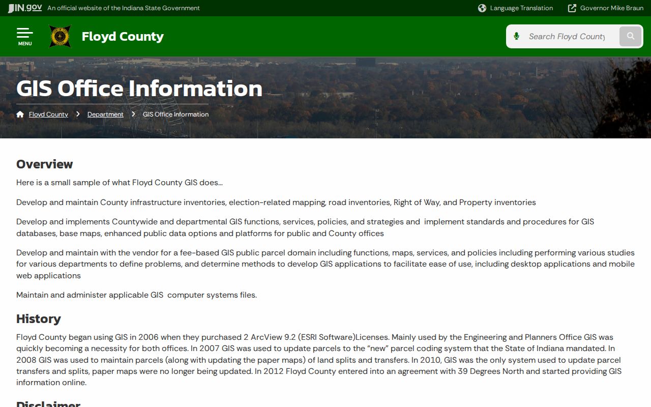
A saved Beacon link can break. For that, and for anyone needing an in-person mapping terminal, this page is the dependable first stop.
Recent Splits and Combines Reshape Floyd Maps
Floyd County's land fabric changed a lot in 2024. A January 2025 Stormwater Board packet counted 138 parcel splits during the year. It also tallied roughly 42 combines in late 2024 and 13 plats. Some plats produced as many as 57 new parcels each. The packet noted about 3,103 impervious-surface updates from 2020 through 2024. It also mentioned aerial photography collected every two years. That volume has a side effect. A freshly reconfigured tract can look different across consumer-facing systems for a while.
To check a recent change, compare Beacon against the recorded plat. Add in Assessor transfer information and Auditor tax grouping. Pull the applicable permit or stormwater docket too. Each source captures a different event in the parcel's lifecycle.
Bring order to the question first. Assemble the map printout and parcel ID. Gather the current deed description, referenced plat, and any survey citation before calling an office. The Recorder helps locate recorded instruments but writes no deeds and settles no boundaries. The Surveyor points researchers to survey and corner material. The office does not convert a tax map into a private boundary survey. Building and Development Services, or a municipal planning office where applicable, answers zoning and permit questions. A zoning layer alone is never the final approval.
Handle neighboring lots one at a time. Select and record each adjacent parcel separately. Do not infer ownership from a label sitting near a line. For easements, search the deed and plat references. The mapped polygon may omit a right of access, utility corridor, or restriction. For acreage, keep the GIS calculation apart. Do not blend it with the figure recited in a deed or certified survey. These disciplined comparisons keep Floyd County parcel maps useful without lending them authority they do not hold.
Limits of Floyd County Parcel Maps
Floyd County says it plainly. Web map information does not replace a survey, deed, or other legal document. A mapped line may be generalized, offset from imagery, or not yet reflecting a split. Zoning and flood context also deserve confirmation with the office keeping the official record. Use GIS to find identifiers and frame questions. Do not use it to place a fence or settle an ownership dispute.
Not a survey. Floyd County GIS parcel lines are reference graphics; obtain a licensed survey and review the controlling deed or plat before relying on a boundary.